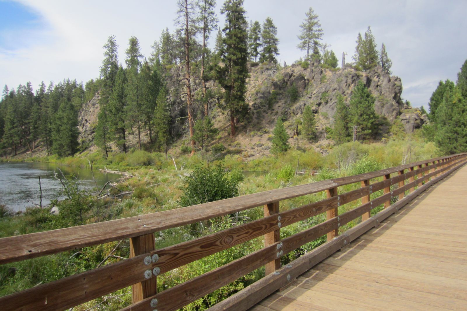
Sunriver’s bike paths are a network of paved, car-free pathways that wind through ponderosa pine, meadows, and golf courses and along the Deschutes River, and they connect to the paved Sun-Lava Path, which carries you all the way to Benham Falls. If you only do one ride, make it that one: from Sunriver it’s about 10 to 12 miles round trip, easy to moderate, and 1.5 to 2.5 hours with stops.
We keep four bikes at our cabin and the paths start right at the door, so here’s the guide we’d hand you at check-in: how big the network is, where the official map lives now, the rules that matter, a few easy loops, and exactly where the pavement ends on the way to the falls.
How many miles of bike paths does Sunriver have?
It depends on who’s counting. The Sunriver Owners Association (SROA), which maintains the system, puts it at 34 miles of paved pathway for bikes and pedestrians, and the Sunriver Area Chamber of Commerce says “more than 34.” Sunriver Resort advertises 40-plus. Whichever number you go with, it’s more path than you’ll cover in a week, and the paths reach the places you’ll actually want to go: the Village, the SHARC, Fort Rock Park, and long stretches beside the river. The Forest Service’s Sun-Lava Path then adds 5.5 more paved miles north toward Lava Lands.
Where can you get a Sunriver bike path map?
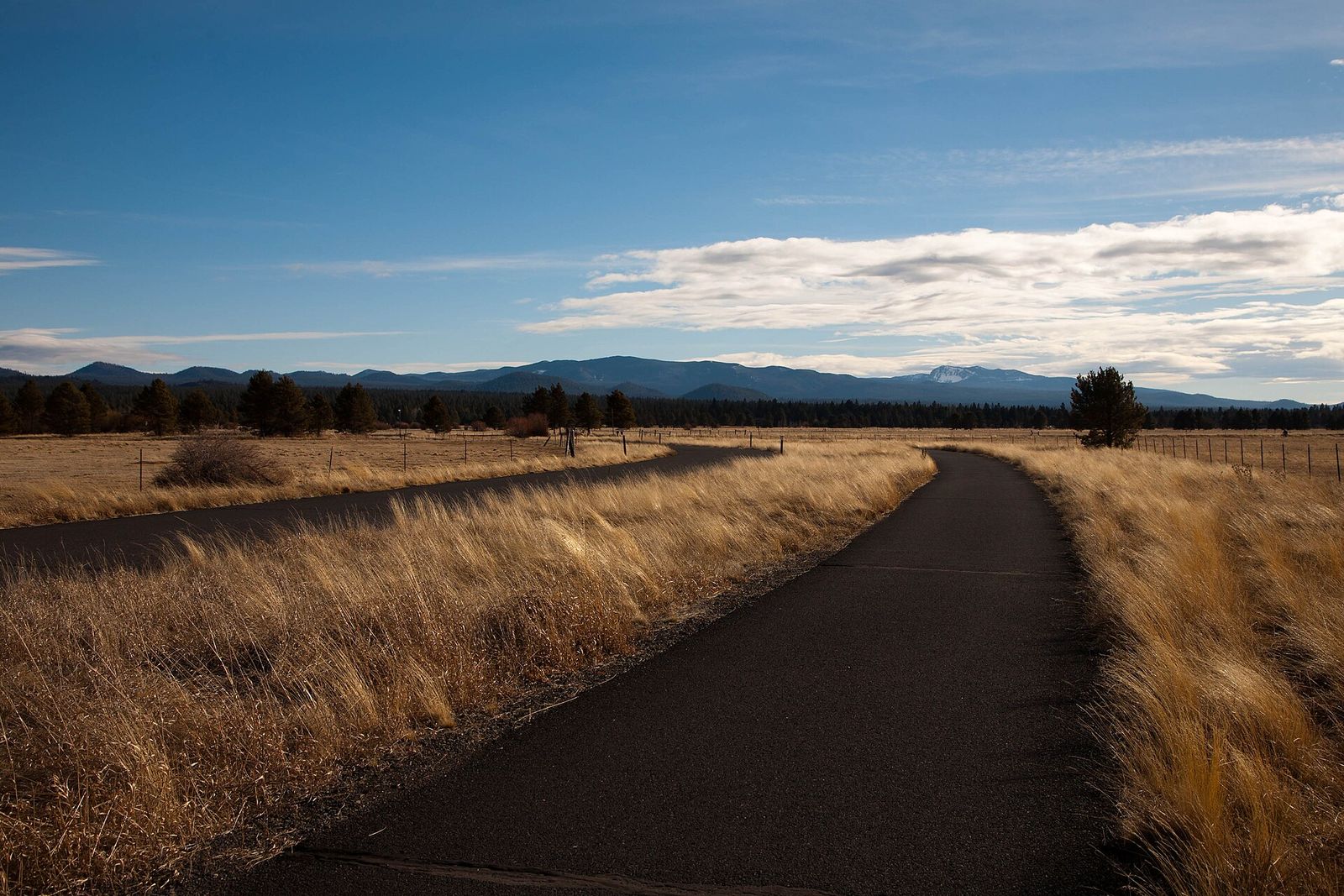
For 2026, SROA replaced its paper pathway maps with a digital Pathway Wayfinding map. The easiest way in is the Sunriver Service District’s digital map page, which links to the SROA Pathway Wayfinder and has a QR code you can scan. SROA also installed new wayfinding kiosks along the paths in 2024, replacing the old wooden ones.
Even the Service District admits the pathways “can feel overwhelming at first.” The paths curve through the trees, and the forest looks a lot alike from one junction to the next. Our advice: pull up the map before you leave, screenshot your route, and don’t stress about a wrong turn or two.
What are the rules on Sunriver’s bike paths?
SROA’s rules are short and sensible. The full text is in the Sunriver Rules and Regulations, and SROA summarizes them on its pathway safety page. The ones that matter most on a vacation ride:
- Ride on the right, pass on the left. Keep right, and give an audible warning before you pass. A friendly “on your left” does the job.
- Walkers have the right of way on the paths and at crossings.
- Yield to cars at every road crossing. Sunriver’s roads run through numbered traffic circles (directions around here sound like “just east of Circle 7”), and wherever a path meets a road, including at the circles, riders yield to cars.
- Stay on the path. Where a path runs next to or near a road, bikes and walkers belong on the path.
- Keep it under 15 mph. That’s SROA’s maximum speed on the pathways.
- Helmets are required under 16. That’s an SROA rule inside Sunriver and also Oregon law. Everyone else is encouraged to wear one.
- Lights after dark. You need a front light and a rear reflector.
- Class 1 e-bikes only. That means pedal-assist with no throttle and assistance that stops at 20 mph. Throttle e-bikes, hoverboards, skateboards, and inline skates are not allowed on the paths. Kid trailers and tag-along bikes are.
- Your dog can’t run alongside. Riding with a leashed dog trotting next to the bike is against the rules; a dog secured in a basket or bike trailer is fine. For everyone else, the paths make great walks, and our pet-friendly Sunriver guide has more.
Easy Sunriver bike loops
The river loop. MTB Project maps this easy loop at about 4.9 flat, paved miles and calls it the most scenic section of the paths: start at Sunriver Lodge, cross the bridge over the Sun River, and follow the path toward the Sunriver airport. Past the Marina connector, you ride about 1.5 miles right along the Deschutes before the path turns away from the river and follows the golf course back to the start.
Village, SHARC, and pickleball. This is the errand-and-fun loop from our door. The Village is a 3-minute walk, the SHARC is about a mile (5 minutes by bike), and the 18 pickleball courts at Fort Rock Park are about 1.3 miles (under 10 minutes by bike). Riding also skips the SHARC parking lot on busy summer days. Here’s how the SHARC passes work.
The Nature Center. You can bike to the Sunriver Nature Center & Observatory from anywhere in Sunriver, and locals love exploring the pond area. It’s on our list of Sunriver attractions along with Benham Falls.
What is the Sunriver 1 hour loop?
It isn’t a route SROA publishes, as far as we can find. The name comes up in online trail databases, where Natural Atlas, for one, lists a “Sunriver One Hour Loop” as a roughly 2.6-mile dirt trail near the Deschutes River on national forest land. It is not one of Sunriver’s paved paths. If you searched it because you want a paved ride that fits in about an hour with stops, the river loop above is the one we’d point you to.
Can you bike from Sunriver to Benham Falls?
Yes, and it’s the ride we recommend first. The route is the Sun-Lava Path, which the Chamber says you can pick up just east of Circle 7 at the north end of Sunriver. From there, the pavement runs through the pines to the Benham Falls East Day Use Area. Our rule of thumb for guests: about 10 to 12 miles round trip from Sunriver, 1.5 to 2.5 hours with stops, easy to moderate.
You’ll often see this ride described as the Deschutes River Trail, and the two are easy to mix up. The paved route is the Sun-Lava Path. The Deschutes River Trail is a separate dirt trail that stays closer to the water, running from Sunriver north past Benham Falls toward Bend. It’s lovely on foot or on a mountain bike, but it isn’t paved.
Where does the pavement end?
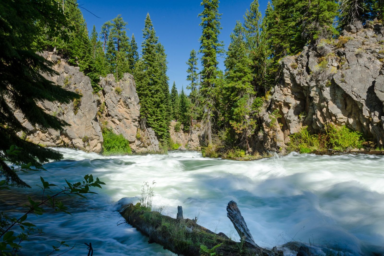
At the river. The East day-use area sits in old-growth ponderosa pines with picnic tables and vault toilets, and you’ll likely see a row of bikes parked where the pavement stops. From there, the falls are a short trip on dirt: cross the wooden footbridge over the Deschutes and follow the trail downstream. The Chamber lists the walk from the East trailhead as 1.7 miles round trip. The first stretch past the bridge can be rocky and narrow before it smooths out into wide gravel, so on a path bike, plenty of people lock up and walk. Just before the falls, you reach the Benham Falls West day-use area, where a trail of about 50 yards drops to a viewing platform.
Do you need a Northwest Forest Pass for Benham Falls?
It’s a parking question. The Forest Service charges its recreation fee at both Benham Falls day-use areas per vehicle, per day, so riding in from Sunriver means there’s no car to park. If you drive to a trailhead instead, display a recreation pass (a Northwest Forest Pass is one of several accepted) or buy a day pass, and the same goes for the Lava Lands Visitor Center lot. Fees change, so check the current rates on the Deschutes National Forest passes page.
A few other rules apply on Forest Service land. Dogs must be leashed at trailheads all year and on the Deschutes River Trail from May 15 through September 15. E-bikes are more complicated than inside Sunriver: the Forest Service opened select trails and paved paths near Sunriver to Class 1 e-bikes starting April 1, 2026, with a winter closure from December 1 through March 31, but the Deschutes River Trail remains closed to them. If you’re riding an e-bike, check the Forest Service’s e-bike trail maps before you head past Sunriver.
What is the Sun Lava Trail?
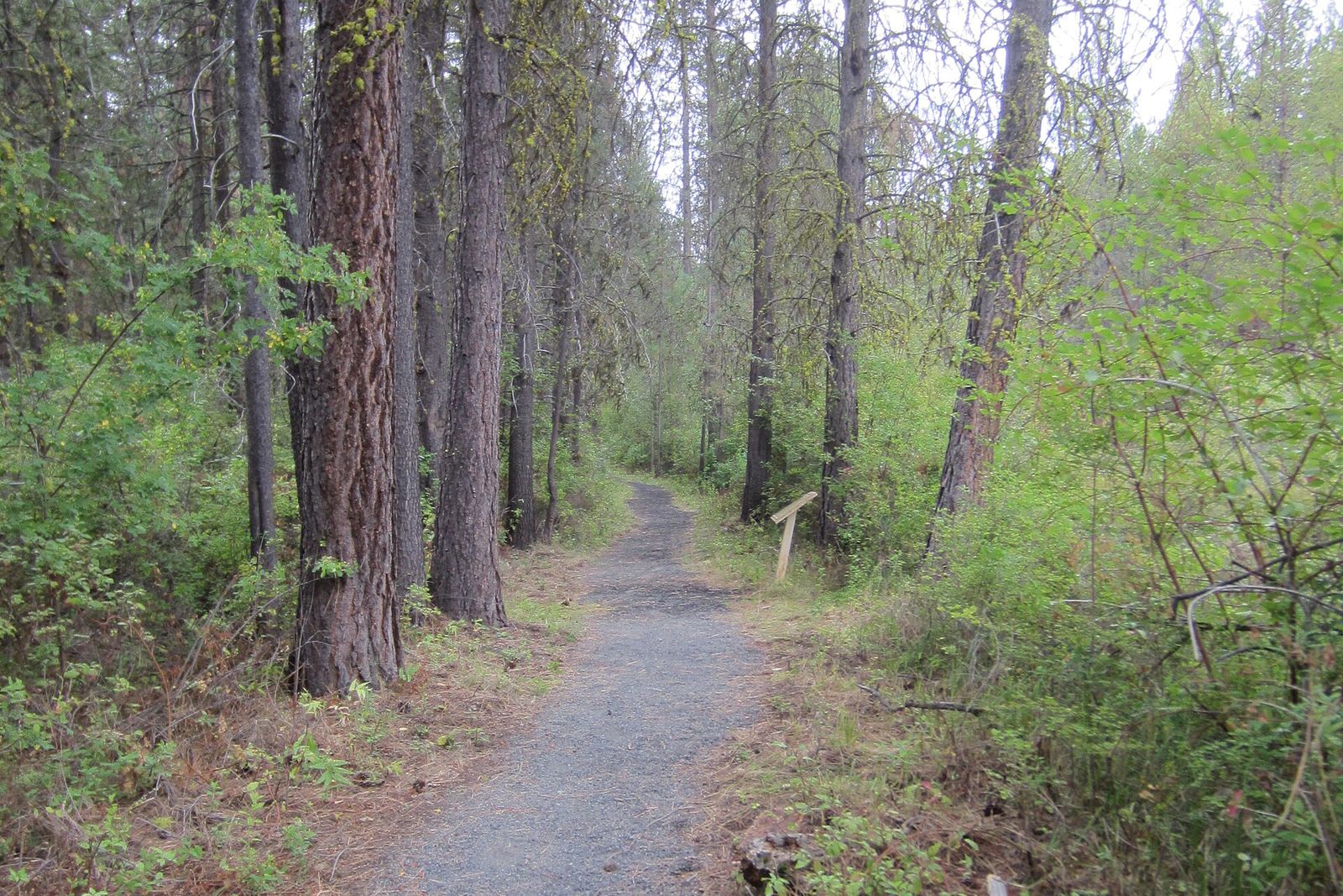
The Sun Lava Trail is the Forest Service’s Sun-Lava Paved Path, a 5.5-mile paved, non-motorized, multi-use path that runs from the Lava Lands Visitor Center to the Benham Falls area and down to Sunriver, weaving in and out of Newberry National Volcanic Monument. ODOT built it, and it opened in 2014. The Forest Service lists it as open year-round.
Riding the whole thing turns Benham Falls into a longer day: continue north on the path to Lava Lands, the interpretive hub for the monument, with exhibits and the trip to the top of Lava Butte. The visitor center runs on a seasonal schedule, so check the Forest Service page before you plan around it. One important note: the Forest Service says there’s no potable water on the path or at Lava Lands, so carry all of it.
Looking ahead, ODOT is building a paved path along U.S. 97 from Lava Butte toward Bend that will tie into the Sun-Lava Path. Construction on the first phase, from Lava Butte to the High Desert Museum, is scheduled to begin in spring 2027.
Where to rent bikes in Sunriver
Our cabin sleeps six and comes with four bikes, so a full house needs a couple more, and anyone who wants an e-bike, a trailer, or a kid-size bike will need to rent. Good places to start:
- Village Bike & Ski, right in the Village: path bikes, e-bikes, junior bikes, and tandem or tricycle options.
- Sunriver Resort’s Bike Barn: a big seasonal rental fleet at the resort.
- Sunriver Sports: bike rentals, including tag-along bikes for little riders who tire out halfway.
The Chamber keeps a longer list of local bike shops. If you rent an e-bike, confirm it’s a Class 1 before you ride it on Sunriver’s paths. And if you’re still picking dates, check availability here before you reserve rentals.
Ride-day checklist
- The Pathway Wayfinder open on your phone, route screenshotted
- More water than you think. The high desert is dry, and there’s none on the Sun-Lava Path
- Helmets (required for riders under 16)
- A bike lock for the stop where the pavement ends at Benham Falls
- Snacks and sunscreen, since shade comes and goes
- A front light and rear reflector if you might be out after dark
- A recreation pass, only if you’re driving to a trailhead instead of riding
- A leash, if the dog is coming on the walking part of the day
After the ride
The best part of a Benham Falls day is how it ends: roll back to the cabin, hang the helmets up, and let the private hot tub take care of your legs while the dog, who is welcome here too, naps off the walk. Four bikes, paths from the door, and a hot tub waiting at the end. Check availability and book direct: same cabin as the listings, better rate, and the bikes are already here.